|
|

|
|
|
|

|
|
|
|
|
|
|
|
|
|
|
|
|
|
|
|
|
|
|
|
|
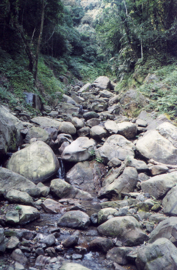
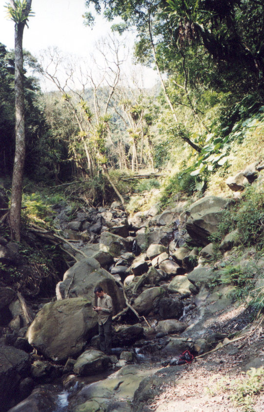
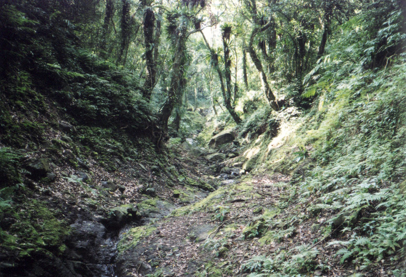
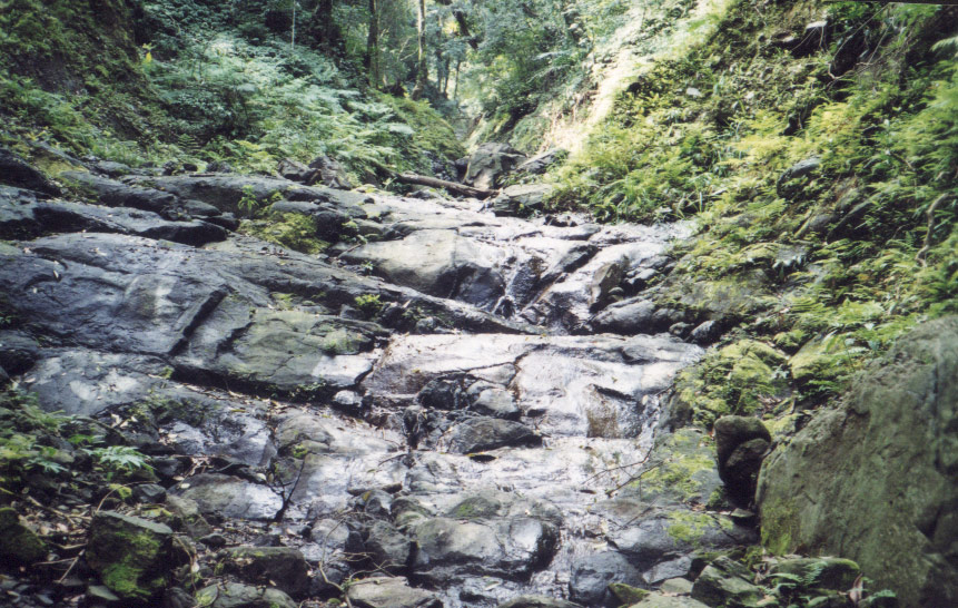
We started walking SW around 7:30 on the trail at the end of the PingGuang Road (平廣路). Washout from Nari over a year and a half ago is obvious even down at this level. We stay on the trail for about an hour but eventually the original trail which probably ran along the rim of the stream has been washed away. So from then on, we are in the stream bed.
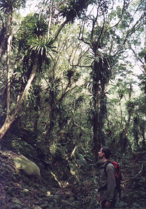
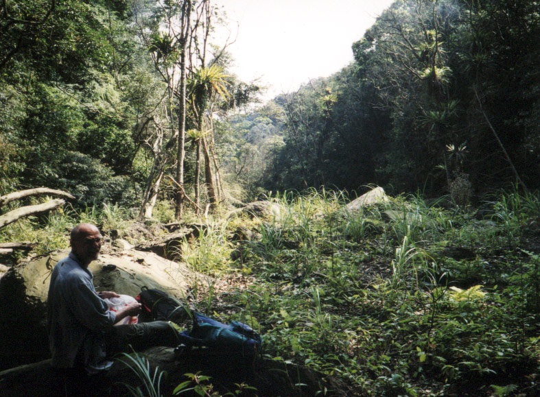
Only grasses, ferns, and some brushy growth have grown back in the stream area evidencing flora succession since Nari's ravage. Many huge trees have fallen into the stream, some if enough of the roots remained intact are still live. Many of these are still covered in the bird's nest fern (Asplenium antiquum). In the middle of the streambed are living trees which suggests that their age could tell you when the streambed was completely scoured in the past. After this growing season, if there has been no great flood, then the grasses might make this route impenetrable.
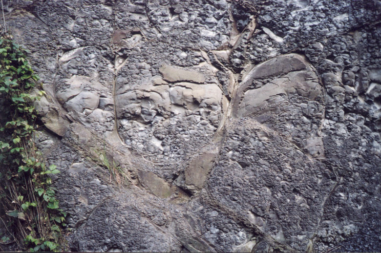
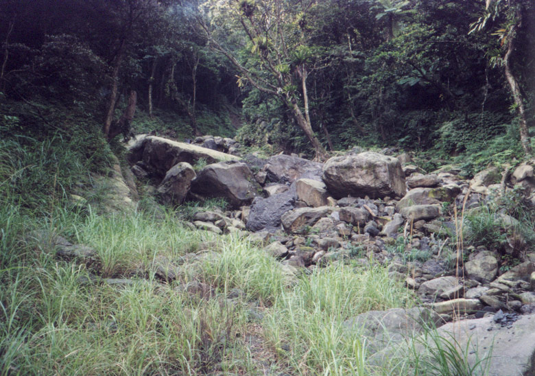
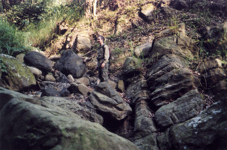
There is a varied population of rocks here, hard to describe for non-geologists. The hardest stones are a type of yellowish sandstone, and there were a few quite large boulders scattered here and there. There is also a very friable dark gray shale-like material found most of the way up. Even the huge boulders of this material fall apart if you hit them. They appear to consist of unconsolidated marine mud.
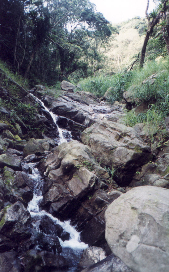
At the highest we reach, our way is blocked by a huge boulder which has wedged in the stream, and we would have to climb around it to continue. We could have done it, but we decide to turn back at that point. Here near the top of the ridge, the land has a more-gentle slope, and there are no washouts, even though the existing sides of the stream have obviously been scoured clean. We estimate it might take another thirty minutes to reach the ridge from here.
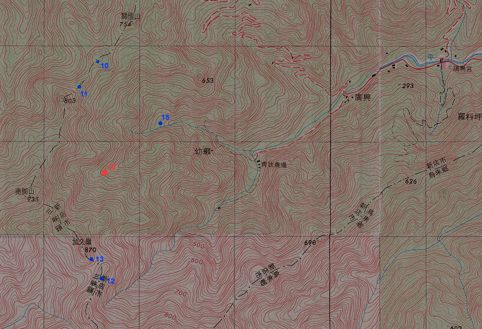 hike area (425 Kb gif) |
| 16 | 297612 | 2752686 | upstream end of wash out |
| 06 | 298777 | 2755137 | (off map) |
| 07 | 298737 | 2755755 | (probably error) |
| 08 | 298573 | 2755146 | (off map) |
| 09 | 298049 | 2754606 | (off map) |
| 10 | 297649 | 2753826 | |
| 11 | 297366 | 2753563 | |
| 12 | 297563 | 2751591 | |
| 13 | 297497 | 2751783 | |
| 14 | 297633 | 2751257 | (probably error) |
| 15 | 298228 | 2753205 | (down to open river washout at dusk) |