JinGuaLiao


|
JinGuaLiao |
|
|
|
|
|
|


|
|
|
|
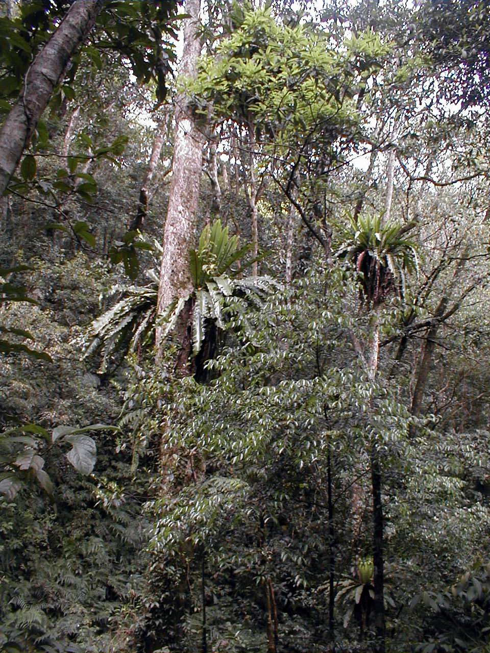
 Asplenium nidus 台灣山蘇花 (臺灣巢蕨) Bird nest fern |
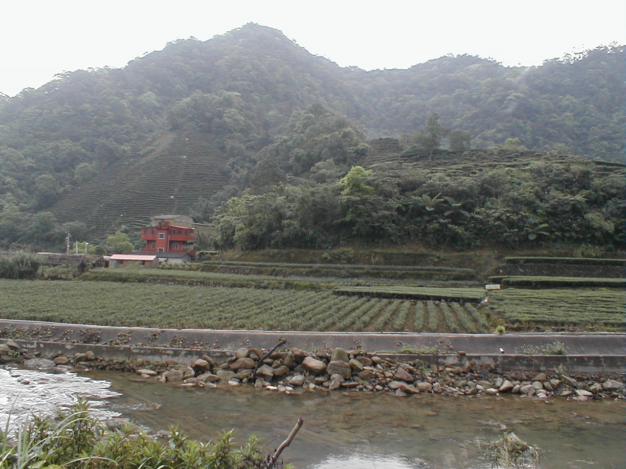
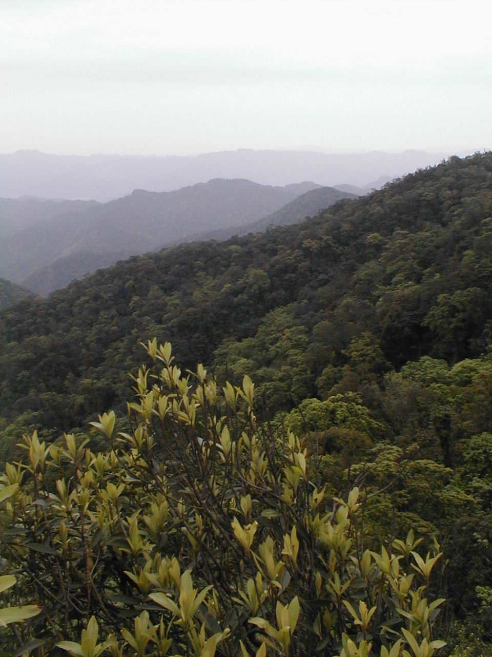
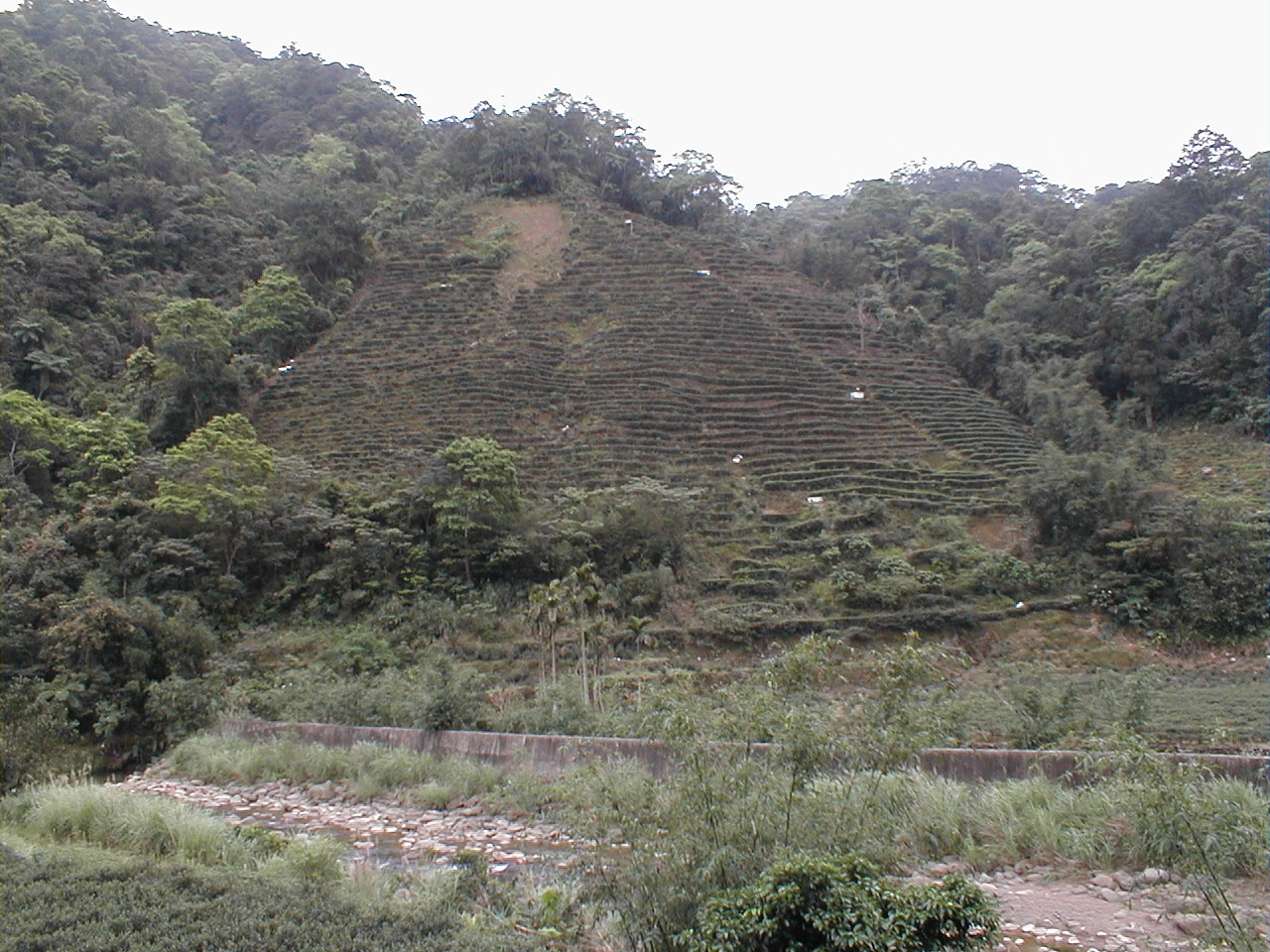 tea terraces along JinGuaLiao |
We drove to PingLin (坪林) looking for other side of trail coming off of the Southern edge of the FeiTsui (翡翠) reservoir. After a forgetable breakfast in PingLin, we took the first right off the highway to Ilan (宜蘭) after crossing the PingLin bridge. We followed winding roads southwest through farms and tea fields following signs for a scenic bike route. After about 15-20 minutes we reached JiuQiong (九芎). The road ran out a hundred meters after crossing a bridge just beyond JiuQiong and we found trail flags here. We were planning to just reconnaissaince, so we had not brought many supplies.
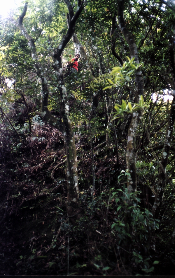
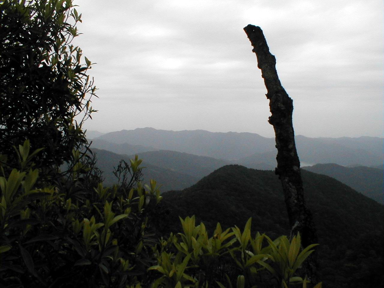
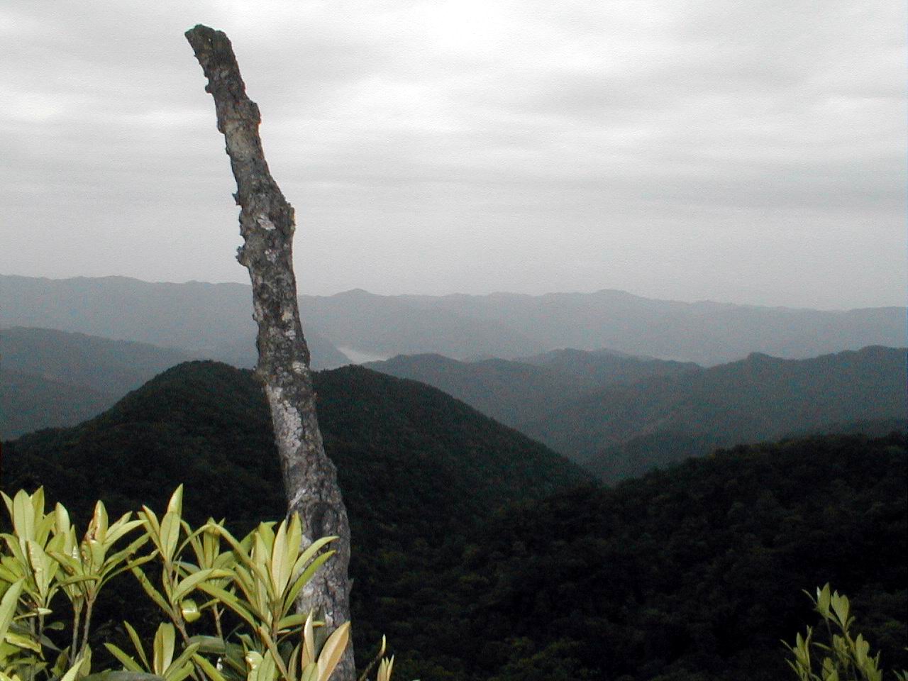
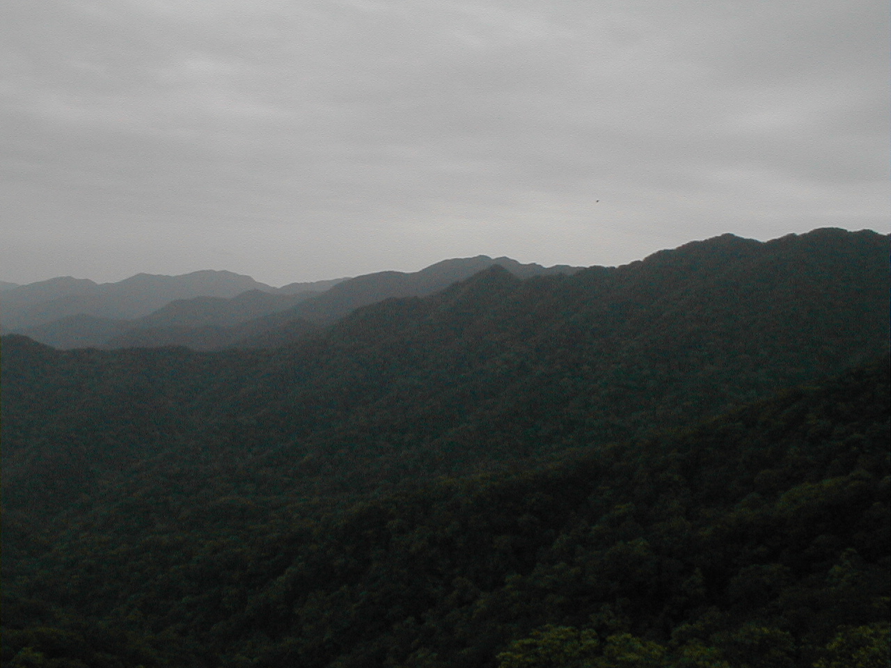
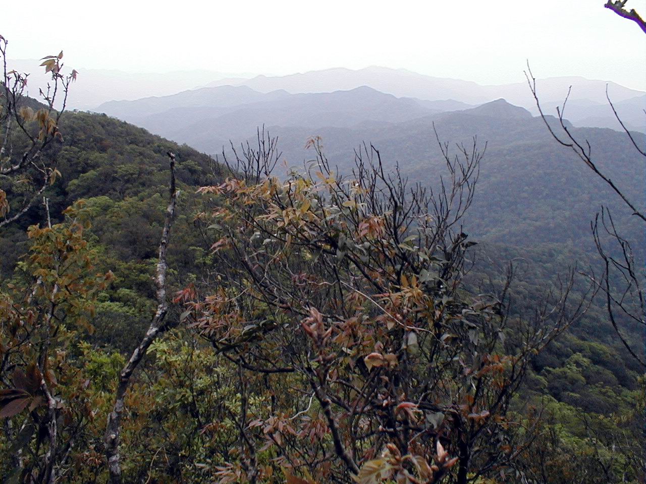
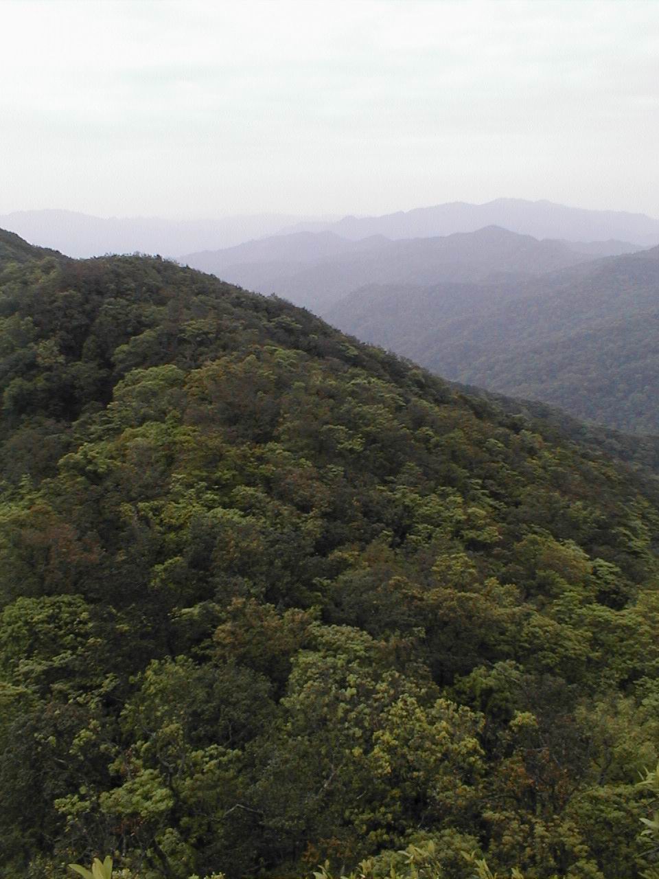
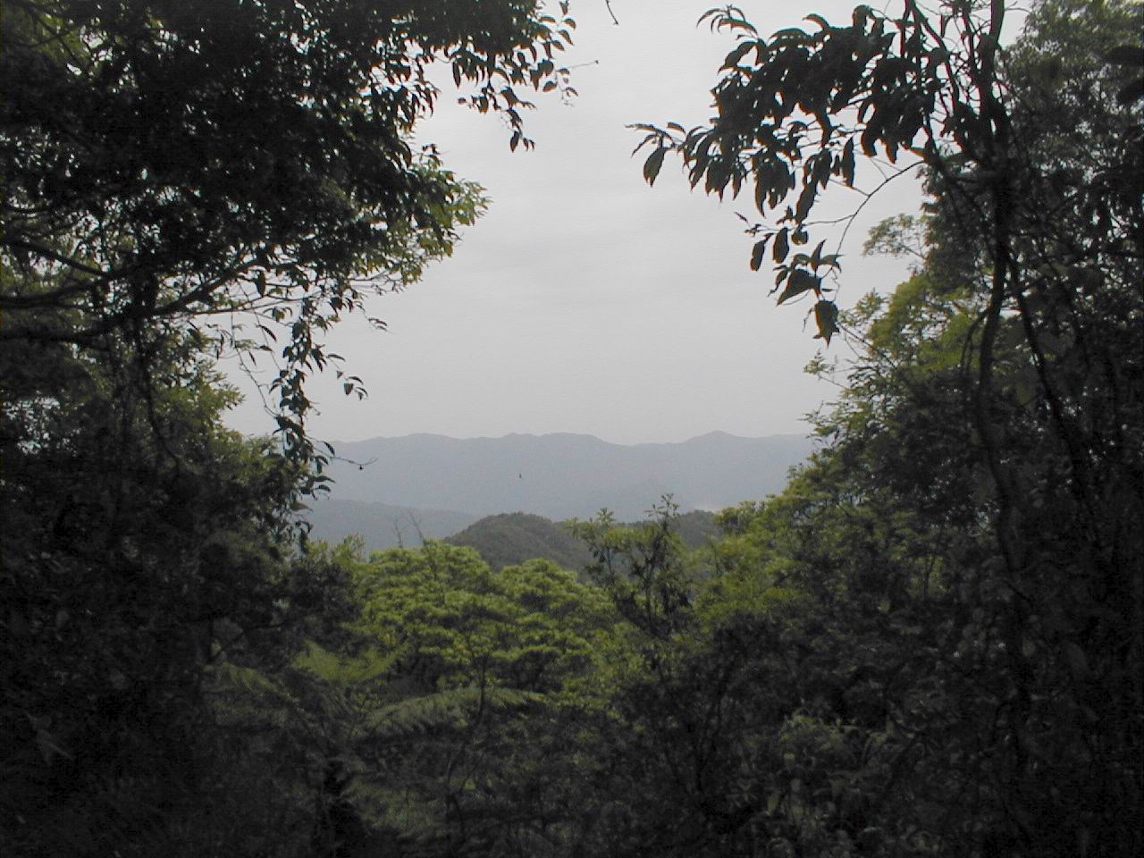
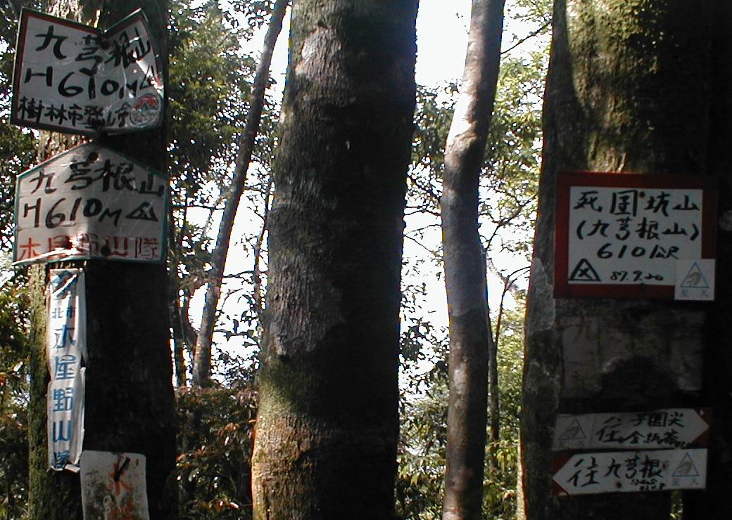
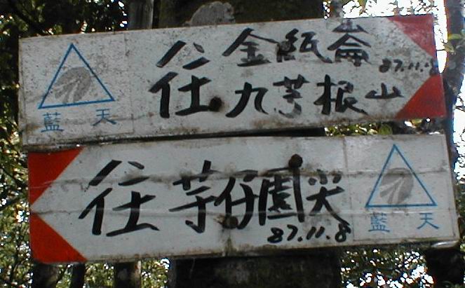
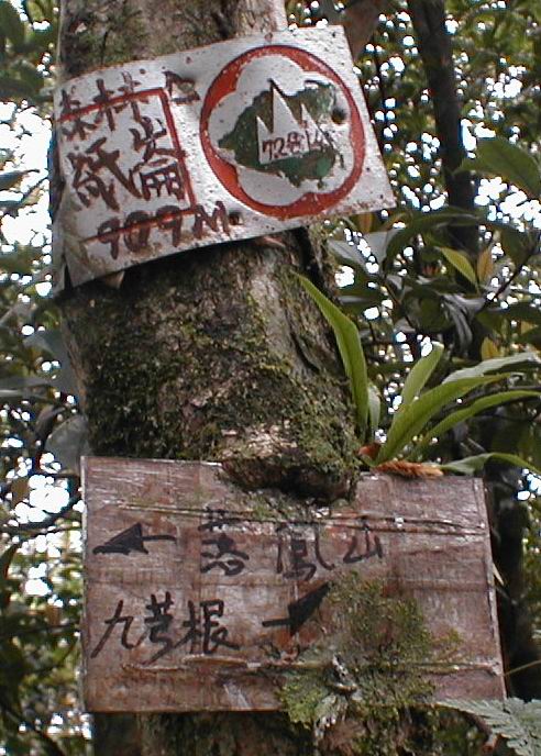
The clear flagged trail climbed steeply up the backbone of the mountain to JiuQiongGen (九芎根山). This was our first hike of the year in the heat. We had almost no liquids, and Dan had forgotten a bag of guavas on the front seat of the truck. After about 1.5 hours we reached the line of the main ridge which ran perpendicular to the spur we were on. We could have turned right (or north) and gone down towards the reservoir, but we headed on up to the left (or south) to try to reach the highest ridge which is north of the TongHo River (桶後溪) which drains into Wulai (烏來).
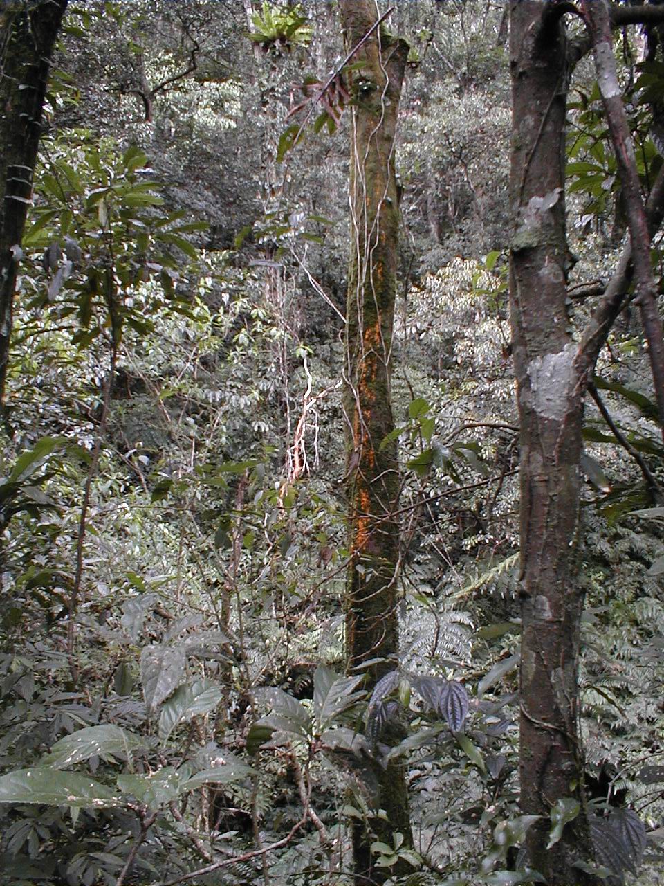
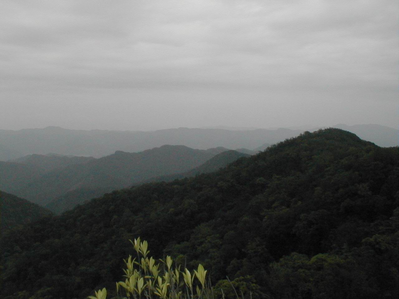
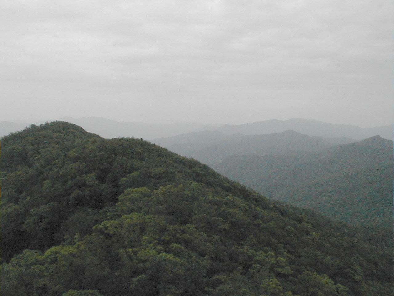
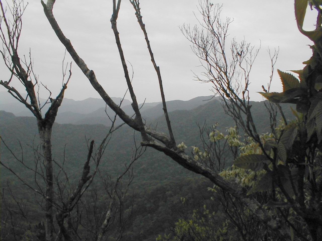
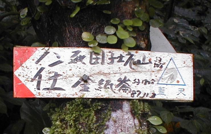
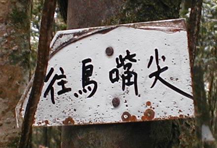
We reached JinZhi (金紙崙) after about 3 and a half hours. There is a clear trail along the ridge to the east towards the coastal mountains above Ilan (宜蘭)and JiaoHsi (礁溪) labeled WuZuiJian (烏嘴尖). We met a group of about five who had also parked at JiuQiong and were going on east, planning to turn north off the ridge and come back towards PingLin (probably a 7-hr hike or so). We looked for the trail west towards LuoFeng Shan (呂奔山) (sometimes written 落鳳山?) and Datong Shan (大通山). There were occasional hand-made flags labeled mountain goat (山羊隊?), but the trail was very obscure. We could probably find our way following the ridge, but we estimated that it might take 3 hours to reach LuoFeng Shan.
Back at the truck, we were happy to find the fruit we left there. We drove back towards the Beiyi Highway (北宜公路) without going through Pinglin. We looked around on the south side of the river along the roads for trails which went along the south side of the reservoir, but found none. We drove through a large cemetery where people were out a week early for ChingMing 清明節 (Tomb-sweeping Day) cleaning the family graves. We did not find any obvious way into or out of that part of the reservoir system from down near the river at the far eastern end. If the road we had been on with Bruce (the week before) goes all the way through, then we did not find its outlet. Perhaps at some point it goes up in elevation, and then connects into the trail system we were on earlier in the day.
While we were driving around the JinGuaLiao 金瓜寮 area we failed to notice a major (6.8) earthquake which collapsed a four-story apartment building in Taipei and dropped a construction crane off of the Taipei Financial Center - expected to be the world's tallest skyscraper, killing five.
Maps FeiTsui area (8.3 MB gif) |
 JinZhiLun hike (3.3 MB gif) |
| Position | Photos | |||||||
JiuQiongGen |
九芎根 |
316313 | 2752915 | 350m |
Starting point (parked) |
|||
JiuQiongGen mountain |
九芎根山 |
610m |
40 mins back to JiuQiongGen |
|||||
| 315361 | 2752493 | 700m |
trail fork |
|||||
JinZhiLun |
金紙崙 |
314178 | 2750650 | 909m |
turn around |
|||
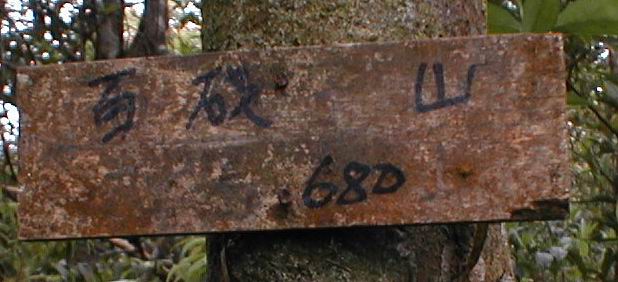
Bai ? mountain |
百 ? 山 |
680m |
||||||
| 317859 | 2758383 | 180m |
end of road towards reservoir from PingLin |
|||||
JinGuaLiao |
金瓜寮 |
319031 | 2758409 | 100m |
bridge across JinGuaLiao (金瓜寮) stream |
|||
BeiShiXi |
北勢溪 |
318931 | 2758758 | 100m |
bridge across BeiShiXi (北勢溪) |
|||
BeiYi Highway |
北宜公路 |
318777 | 2759059 | 200m |
back on BeiYi Highway (北宜公路) |
|||