closed due to heavy damage

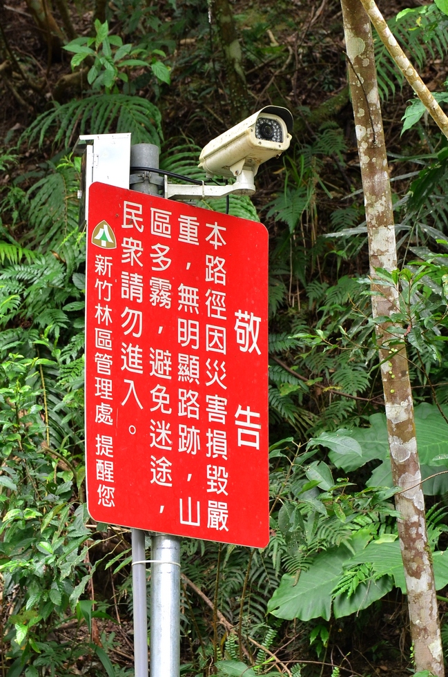
journal > 2017 > Trace and hike along the Tonghou stream 桶後溪 > closed due to heavy damage

Trace and hike along the Tonghou stream 桶後溪 DSC_0119

closed due to heavy damage

Keywords: sign
Location: 24°50'50" N, 121°35'3" E, 292.7m; near: Xiaoyi, 孝義, map
Camera/lens: NIKON D7000, 17-50mm f/2.8
Aperture: 5.0, Shutter speed: 1/100, Focal length: 50.0 mm, ISO: 320, Bias: 0
Date/Time: 2017:02:18 12:44:02
Average color: LightSalmon4