Keywords:
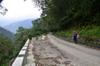
hike,
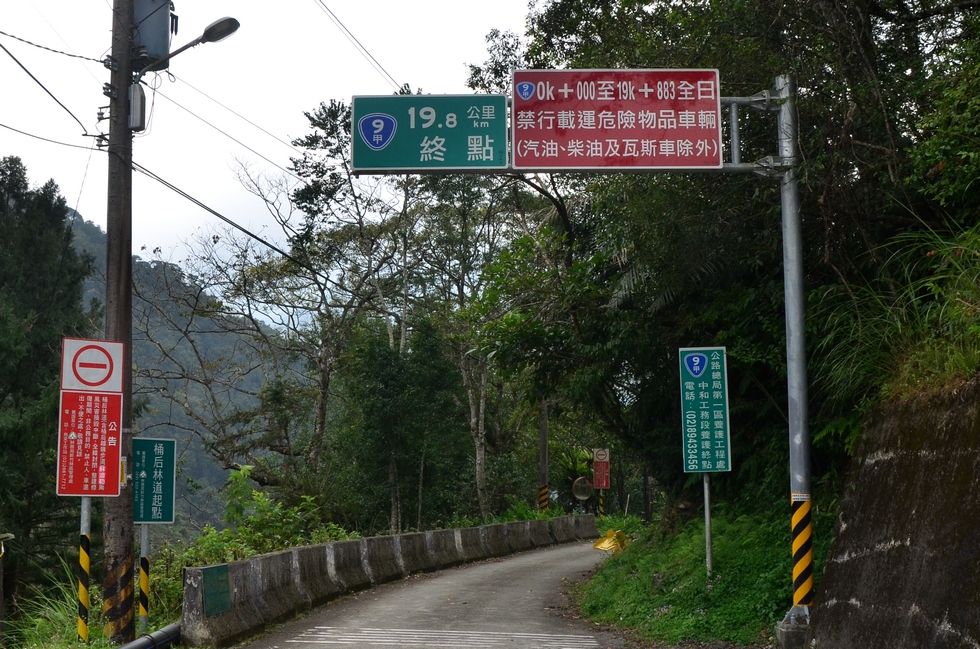
sign Location: 24°50'58" N, 121°35'11" E, 289.4m; near:
Xiaoyi, 孝義,
map
Camera/lens: NIKON D7000, 17-50mm f/2.8
Aperture: 9.0, Shutter speed: 1/320, Focal length: 17.0 mm, ISO: 320, Bias: 0
Date/Time: 2017:02:18 12:51:16
Average color:
gray30