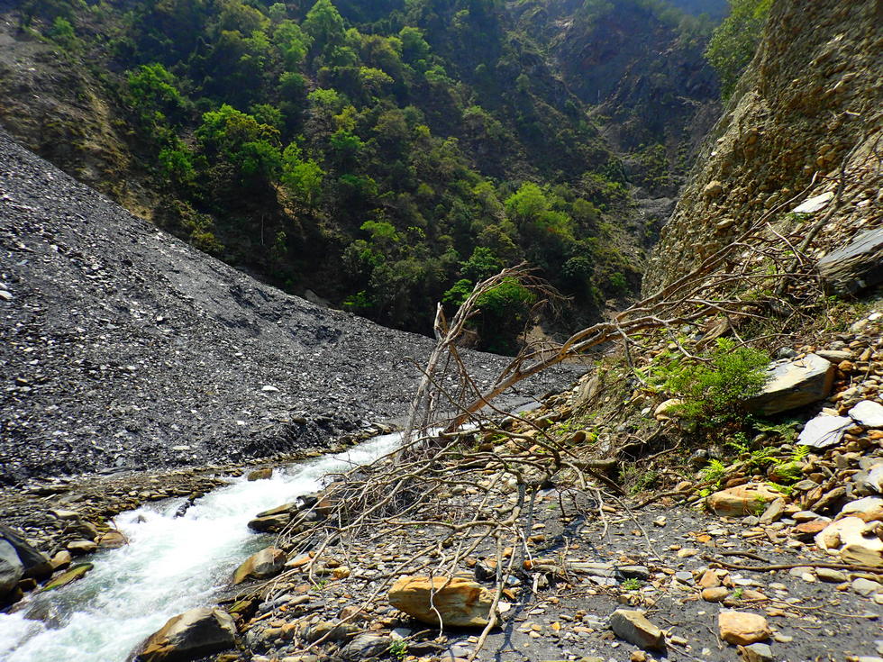
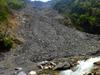
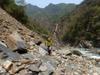
landslide
journal
>
2021
>
Junda Stream 郡大溪 Aul misnabukun
> landslide
landslide
Keywords:
landslide
,
river
Location: 23°43'32" N, 121°1'31" E, 699.6m; near:
Dongpu, 東埔
,
map
Camera/lens: TG-4
Aperture: 2.8, Shutter speed: 1/1000, Focal length: 4.5 mm, ISO: 100, Bias: 0
Date/Time: 2021:04:03 11:43:46
Average color:
gray34