The longest and hardest of the three-day trek to Jhangothang base camp, the jumping off point for the higher part of our trek. We leave behind the farmlands and enter the cold broadleaf forest characterized by rhododendron, oaks and ferns.
The trail is rockier, with many steep ascents and descents. Sometimes the trail descends right down to the river bed and becomes quite muddy with incoming streams and the horses working over the trail.
We stop in the forest several times to watch birds, which catch the interest of our guides. The field guide books that Philip and Tammy have brought are sought out by our guides and trek mates alike.
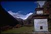
Because of the high trekking season and thus competition for the better camp sites, Bruce, in typical mountain goat form, sprints ahead to secure our next camp site for the evening. The "good" site has a simple stone building that's used as a kitchen and sleeping place for trekking staff, while the tent area has a clear view of the sacred peak, Jomalhari.
Several people start feeling the effects of the altitude. Philip, still not over the flu, and Michael suffer the most with bad headaches. Michael also has a bout of nausea and vomiting. |
 |
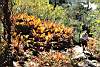
The green spindly moss of the Bhutan cold broadleaf forest. |
 |
This dog and pig are best buddies. |
 |
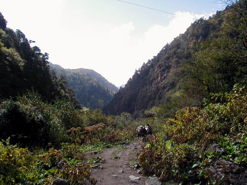
The horses coming up the trail, which has climbed up to this semi-flat, but rocky area from the river valley below. |
 |
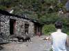
A mother and her child stand near the door of their mortar-less stone house. |
 |
Looking back at the stone house from farther down the trail. |
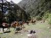 |
A small camp site used mostly by traders that ply this mountain route. |
 |
Road to Tremo La - the old invasion and trade route from Phari Dzong to Tibet. We take the lower trail to the right. |
 |
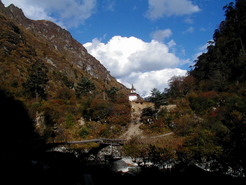
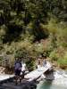
We stop at a traditional Bhutanese cantilever bridge for a rest. |
 |
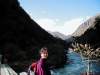
Bruce, our fearless trek leader. |
 |
First, we cross... |
 |
...then, the horses, weighing heavily with our supplies, obediently make the crossing. |
 |
Our first sight of snow, peeking through the bottom of the clouds on the pass above us. |
 |
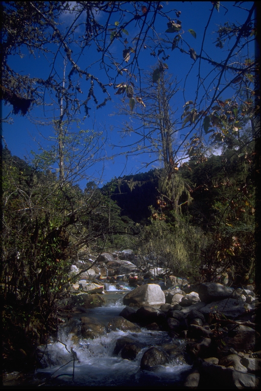
The river's glacial waters are cold just to look at. |
 |
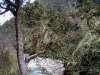
More of the spindly moss hanging from the trees above the river. |
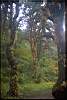 |
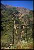
One of the cold broadleaf forests we walked through. |
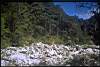 |
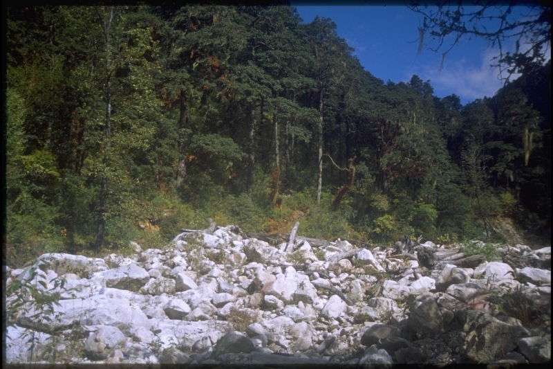
A rocky river bed |
 |
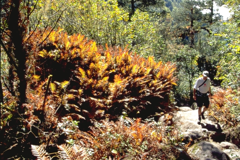
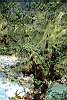
Rhododendrons and ferns line the trail. |
 |
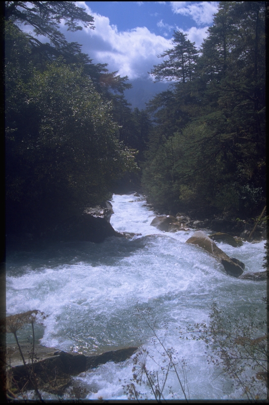
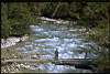
The cold, turbulent waters of the Paro Chhu. |
 |
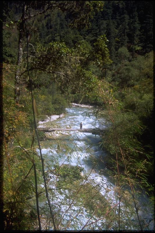
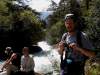
Our second guide, DoDo, standing on a long cantilever bridge spanning the fast flowing river. |
 |
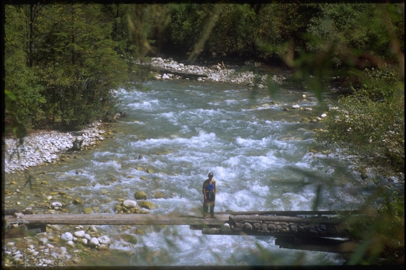
A closer shot. |
 |
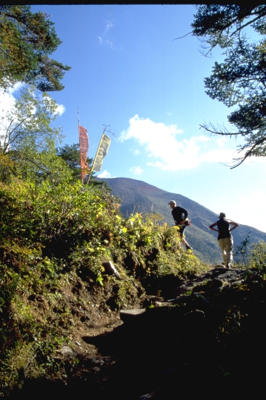
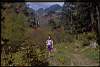
Michael and Marina climbing their way up the switchbacks to the top of a ridge. |
 |
Barely visible below the clouds is Jomalhari mountain. |
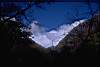 |
Another shot where just the tip of Jomalhari rises above the clouds that have enshrouded it. |
 |
The late afternoon turns cold at the bottom of the river valley, already in shadows as the sun disappears behind the high valley walls. |
 |
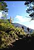
Reaching higher ground in the sun again, we stop for a rest. |
 |
Bruce getting ready to sprint ahead to get a good camp site for the evening. |
 |
The horses, fully loaded, faithfully follow the trail, only occasionally balking at the steep, rocky ascents and descents. |
 |
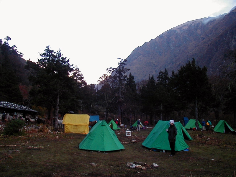
We finally arrive just after sunset to the Thangkathangka camp site. |