Keywords:
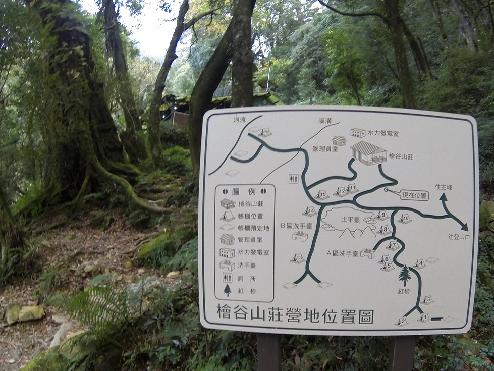
map,
sign,
trail Location: 22°36'55" N, 120°44'30" E, 2103m; near:
Taitung, 台東,
map
Camera/lens: Hero3-Black Edition
Aperture: 2.8, Shutter speed: 1/50, Focal length: 2.8 mm, ISO: 256, Bias: 0
Date/Time: 2016:12:21 09:30:28
Average color:
gray46

